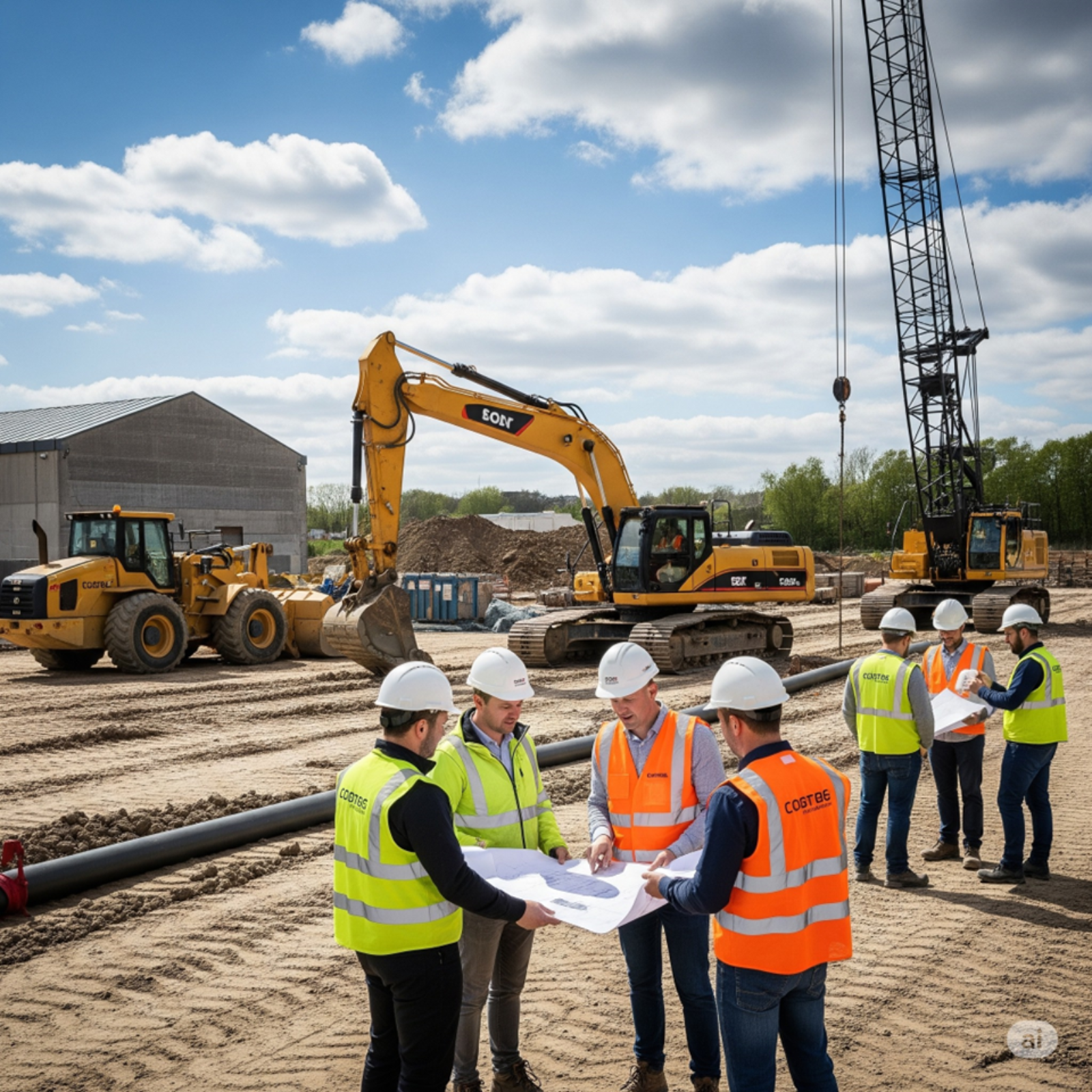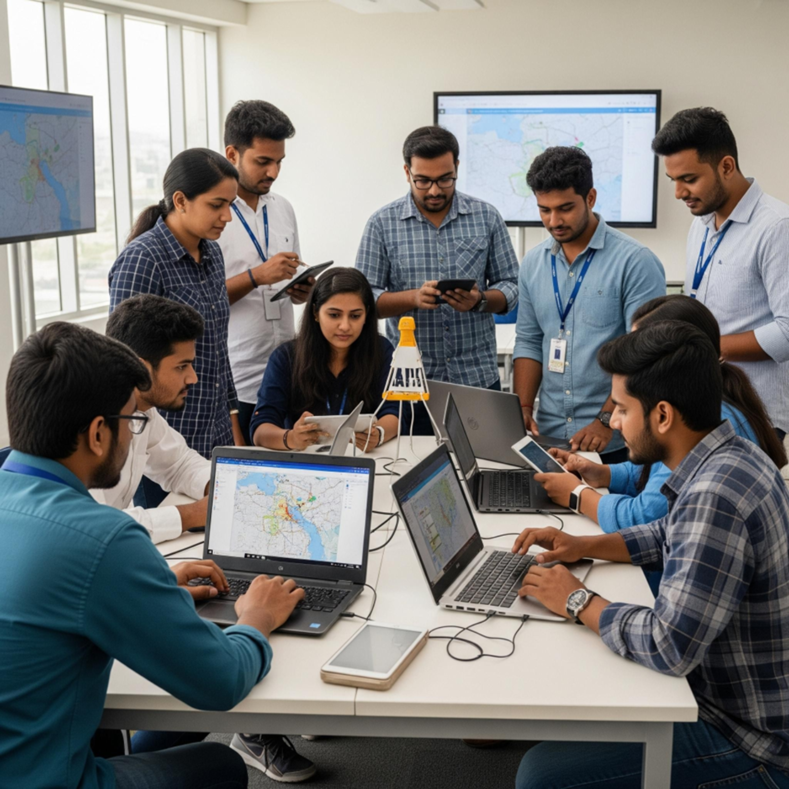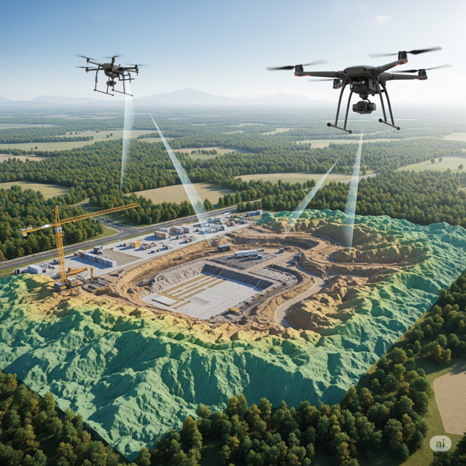
We offer high-accuracy mapping and survey solutions using geospatial tools and drones.
From land assessment and topographic surveys to 3D terrain modeling, our work supports everything from environmental planning to infrastructure design. Our experience includes contributing to government-led projects, ensuring our services meet both technical standards and real-world needs.
What drives us: Turning data into direction—helping communities and organizations make grounded, future-ready decisions.