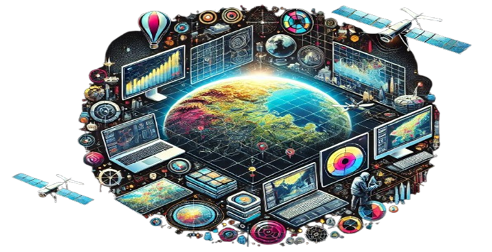
Using geospatial technologies to analyze and interpret environmental and geographical data.
Using geospatial technologies to analyze and interpret environmental and geographical data.
Delivering precise mapping solutions for land use, disaster management, urban planning, and environmental monitoring.