Drone Mapping for Precision Agriculture
Enhancing agricultural productivity through drone mapping and real-time data analysis.
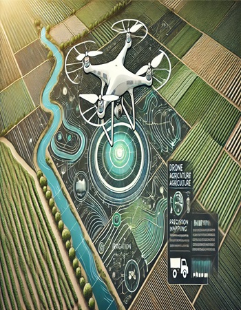
Bhugoal Tech collaborated with an agricultural organization to use drone mapping technology for precision farming. High-precision drones captured detailed images of farmland, identifying areas with uneven growth, water stress, and pest infestations. By analyzing this data, we provided actionable recommendations, such as optimal irrigation plans and pesticide application zones. The project increased crop yields while reducing costs, showcasing how technology can revolutionize traditional farming practices.