Smart Urban Planning with GIS & Remote Sensing
Transforming urban development using GIS and remote sensing for better planning and sustainability.
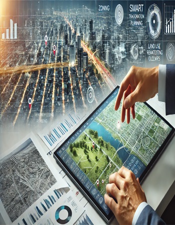
In this project, Bhugoal Tech leveraged GIS and remote sensing technologies to assist city planners in creating sustainable urban spaces. Using high-resolution satellite imagery and digital mapping, we provided insights into land use, environmental impacts, and population density. These tools allowed stakeholders to visualize infrastructure needs, optimize land use, and mitigate risks like flooding and pollution. The project not only improved urban planning but also fostered long-term sustainability.