
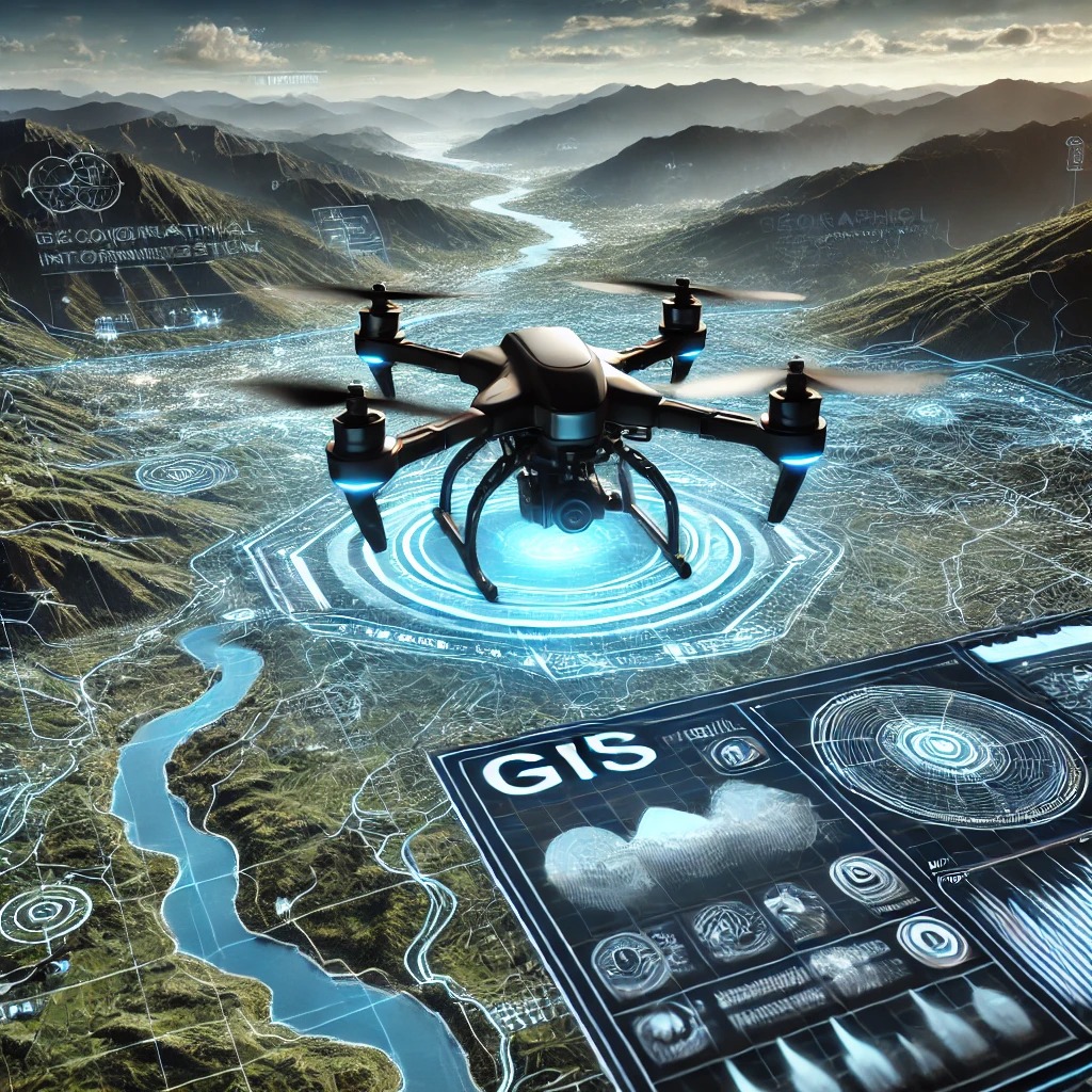
Drones are no longer just tools for photography; they are key drivers of innovation in mapping and surveying. At Bhugoal Tech, we utilize advanced drone technology to create 3D models and high-precision maps for construction projects, agriculture, and infrastructure development.
Drone mapping offers unparalleled accuracy while reducing time and costs. It allows for safer site assessments and faster data collection compared to traditional methods. From monitoring crop health to assessing large construction sites, drones are paving the way for smarter and more efficient workflows. In this blog, we explore the benefits, applications, and future of drone mapping in diverse industries.

