
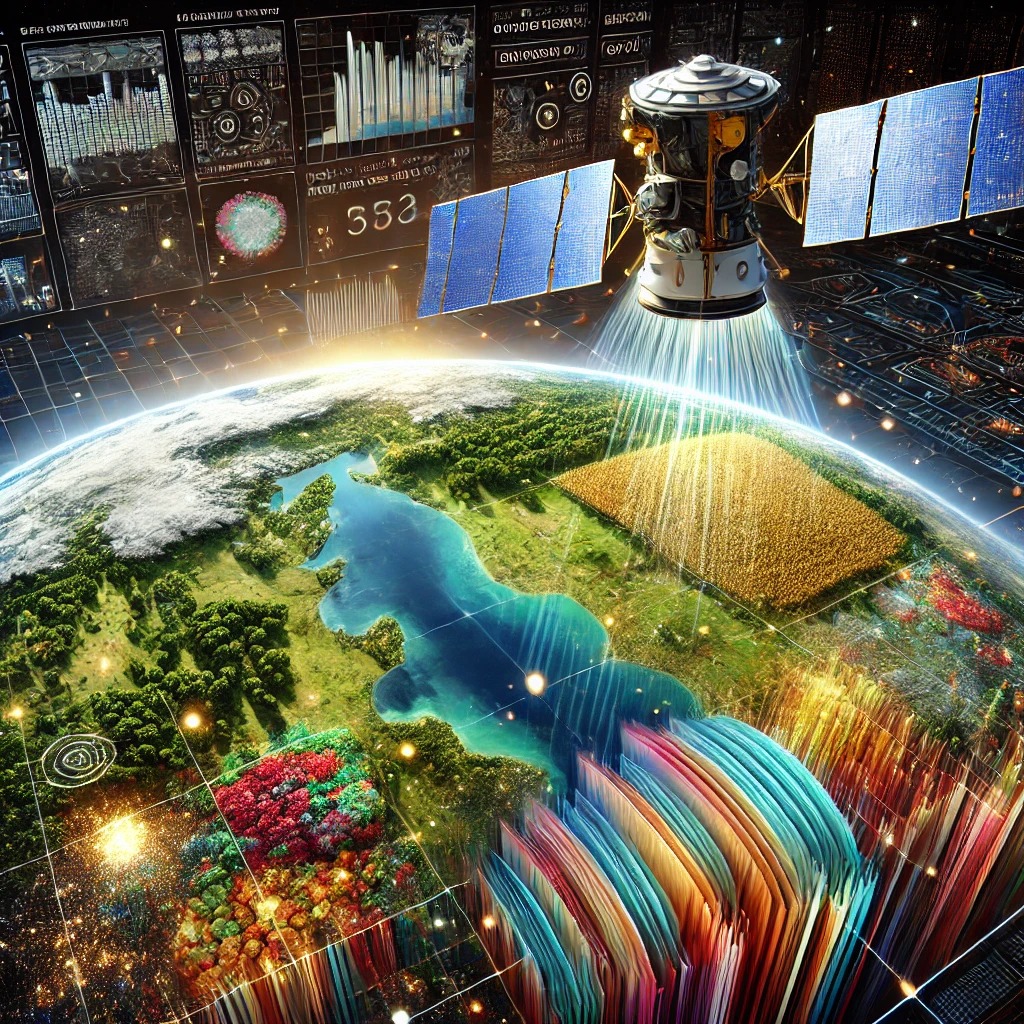
Geographic Information Systems (GIS) and Remote Sensing have become indispensable tools for businesses, governments, and communities. At Bhugoal Tech, we leverage satellite imagery and digital mapping to help organizations gain critical insights into land use, environmental changes, and urban planning.
GIS empowers decision-makers with data-driven solutions for everything from agriculture to disaster management. Remote sensing allows for real-time monitoring of environmental changes, ensuring better resource allocation and preparedness. Whether you're planning a city or managing natural disasters, these technologies provide clarity and precision. Dive deeper into how GIS and Remote Sensing can help shape a sustainable future while improving operational efficiency.

